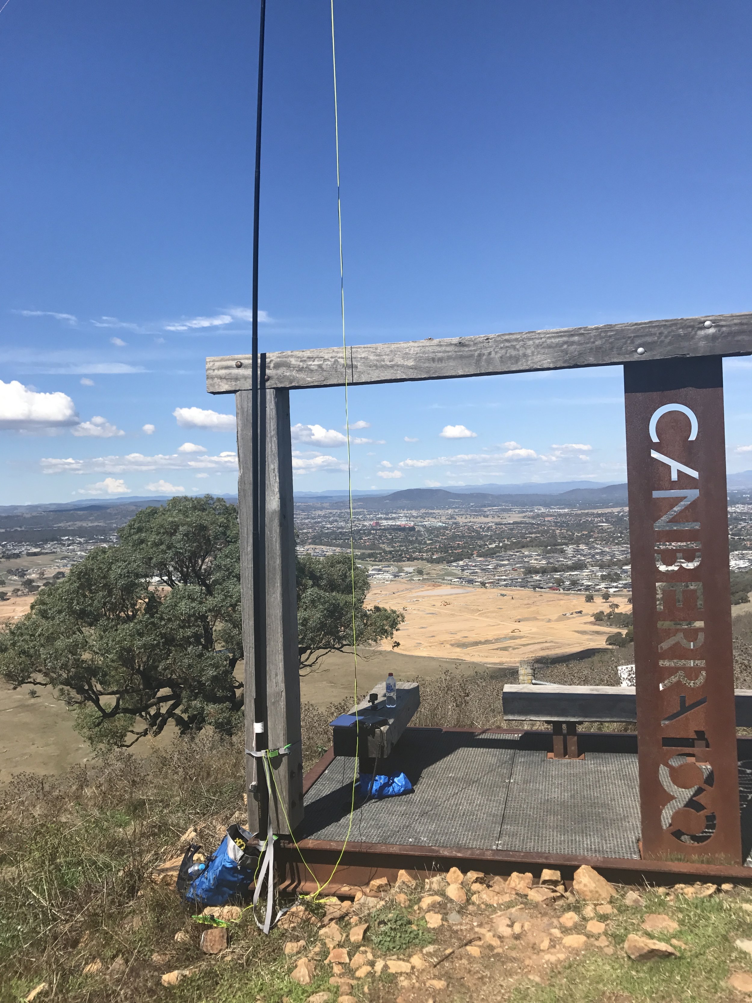
Mt Marulan VK2/ST-039 - my first failed activation


Having not been out on summits for a little while I received a push by my good friend https://www.instagram.com/trig_ventures/ who is a frequent hiking buddy and another good friend to try and activate VK2/ST-039 Mt Marulan.

Reading blogs from VK1MCW, VK1AD and VK2IO we followed the GPXs within the files section here on groups IO.

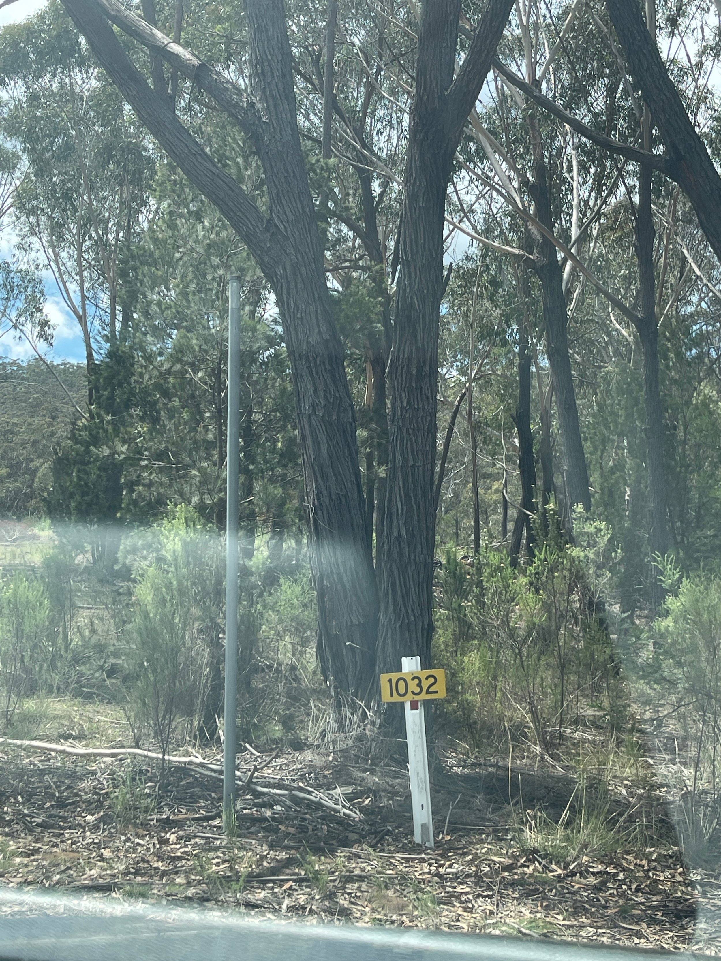
Arriving at the G98 trail head, we noted a new sign compared to other blog images noting the gate was now PRIVATE, which without direct permission we did not want to enter.  We checked the other 2 gates on the eastern side of the fence, both were also locked.

Noting some comments on some older activations from VK2IO and VK2HRX they mentioned the trail comes out near Tiyces Lane further to the south.

Heading to the very end of Tiyces Lane the former brown sign indicating the trailhead direction was missing compared to VK2IO's blog

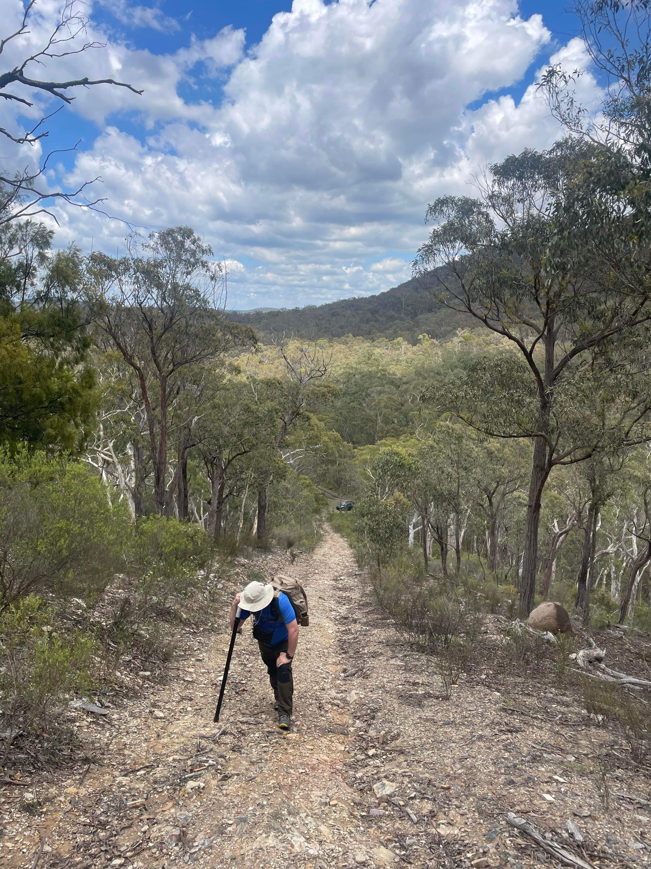
Once arriving at the trail head a nearly 3km climb awaits you - I suggest not trying it on a 30 degree day like we did. 

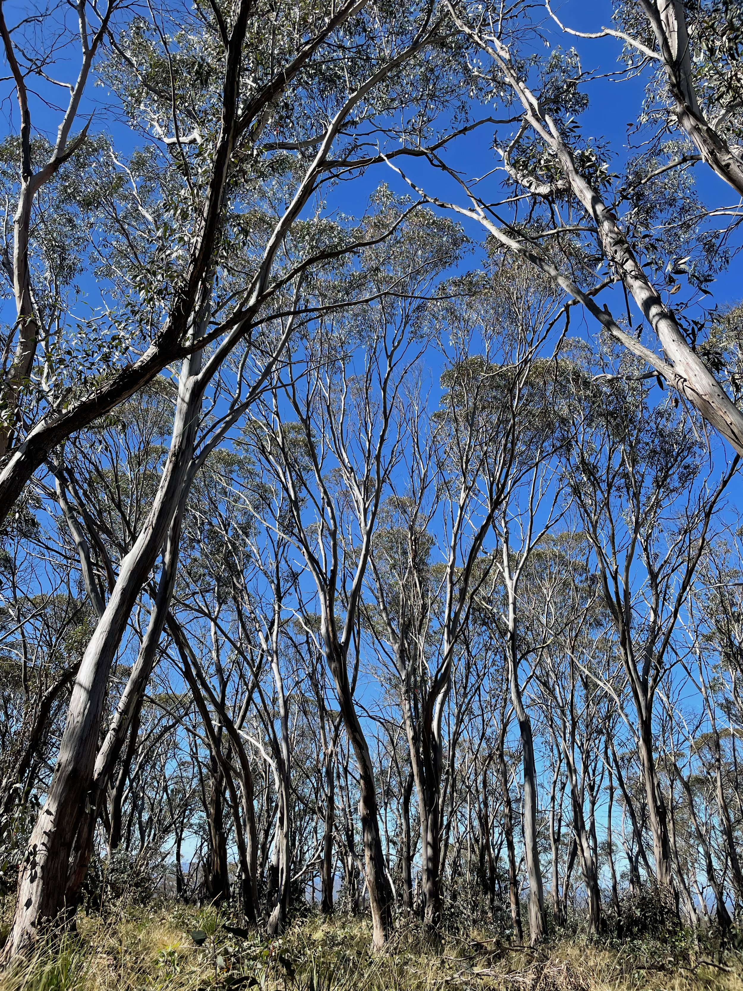
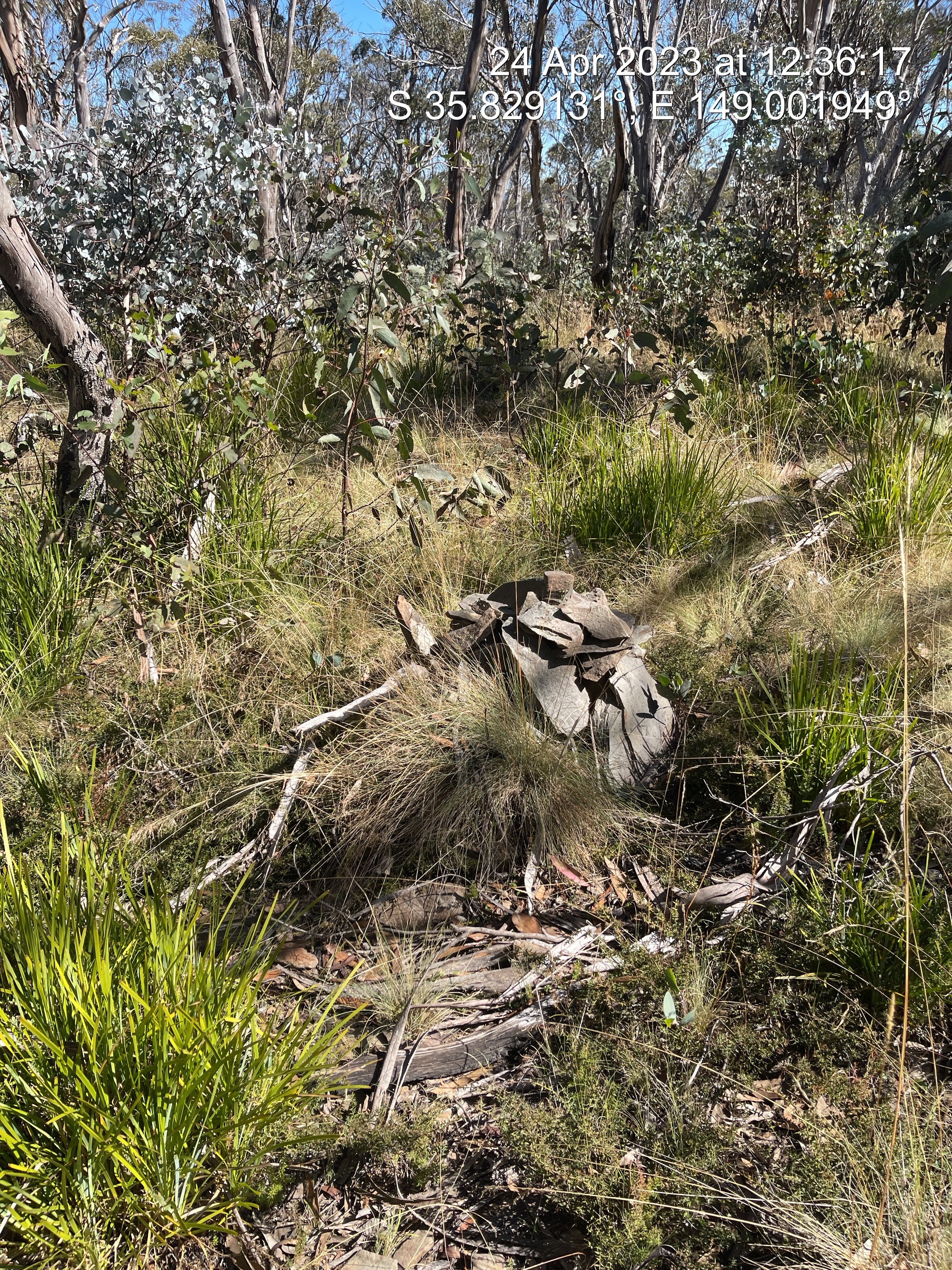
Arriving at the trig was a feat that was celebrated by Trig_Vetures

Sadly HF conditions were a complete blow out - not a single call in response to my CQs on 40 or 20m.

I could hear faint murmers of VKFF parks activators on 7.144 but not actual words. VK1AD reported he could not hear me and I could not hear him on the usual workhorse band of 40m. Mt Marulan has become my first failed activation. With that steep climb I doubt I will be returning in a hurry either!

A refreshing ginger beer was had at the Hiberian Hotel in Goulburn and a safe return in the early evening was a welcome finish. VK1AD advised the MUF for that time as 4MHZ

Boboyan Range VK/AC-044 - Epic road trip!

It has been a long time between SOTA outings!

After almost no activating in a long while, I decided to put a little project radio I had been playing with, the Chinese clone USDR radio from AliExpress. After some work to get it aligned, I decided it needed an on-air outing.

Not having been to many Namadgi summits post the 2019/2020 fires that tore through much of the national park, I wanted to return to one of my favourites, Boboyan Range, AC-044. Located on top of a flat eucalypt plateau, accessed by working the contour lines filled with black wattle and other calf and ankle-poking foliage entirely off-track, navigating to the summit requires bush bashing and a keen eye on the GPX GPS track.

Finding the little rock cairn that has been added to by consecutive activators nestled amongst the juvenile gums, I wanted to mark the exact location for the future.

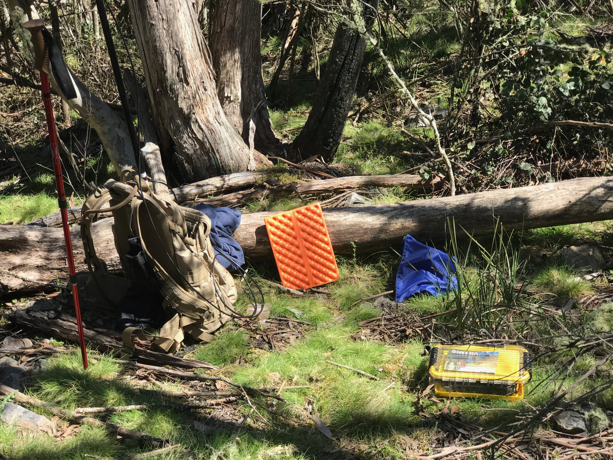
Setting up on my blue tarp, running a linked 20/40m end fed antenna with a QPRGuys 40-10 EFHW tuner with the long wire thrown over a hanging branch, set up could not be lighter or more simple.

Andrew VK1DA was located on a nearby summit, Mt Livingston VK2/ST-093 I was able to test the USDR’s inbuilt CW decoder - video below

The ‘other’ Andrew, VK1AD was also able to offer a summit to summit contact, located on Mt Stromlo, VK1/AC-043 and he recorded the following exchange to capture the audio quality that he received

With the K Index in the toilet, I was still happy to work more than enough stations to qualify the summit, with reports as far as the South Island of New Zealand

Following the activation and spending almost an hour on the summit, my walking compainion and I packed up and headed back to the car, thankful for the downhill run. Finding the car in the small culvet that we had left it, we headed off to the Mt Clear campground for refreshments. Continuing a short distance south on Boboyan road to the historic Brayshaws Hut.

The original plan was to continue south, stopping again at Adaminaby before doubling back to Coooma and home via the Monaro Highway. Immediately after leaving Boboyan Road where it meets the Snowy Mountain Highway, we encountered a road closure due to a tragic truck accident that had occurred approx 90 mins prior in which the truck crashed and caught fire. This meant the road home would be closed for the foreseeable future. Deciding to turn west we headed towards Tumut. Not before visiting the big trout at Adaminaby.

Dropping down the mountain pass and entering the hydo hamlet of Talbingo we encoutered 2 Emu on the side of the road, grasing in the falling dusk.

A lovely day trip out to test out the USDR turned into an 11-hour, 500km excursion taking in many unplanned sights, as captured by my APRS track from my Kenwood 710 mounted in my car.

Devil's Peak VK2/ST-003 lives up to it's name

Andrew VK1AD and I decided to do a double summit activation of Devils Peak VK2/ST-003 and Dingi Dingi Ridge VK2/ST-004 both on the west side of Mt Coree.

IMG_0530.jpeg

Devils peak lived up to its name. The climb wasn’t so much the struggle, it was more the bush bashing, leaf litter, and debris on the forest floor that slowed things down. But with a few breaks during the climb, we were rewarded with clear blue skies and a tiny breath of wind on the thickly vegetated summit.

Andrew and I operated on 2m SSB, 2M FM, and 1296.SSB. Activating on each band and mode. It was fantastic to see so many summit to summits from local activators - just like the old days!

Andrew’s oblong loop continues to produce good results, I was using the collapsable/telescopic dipole in both the H and V pol config.

Just as we were packing up on the summit we realised we were not alone… despite the remoteness of the summit, the harshness of the climb, and the thickness of the scrub, 2 bushwalkers stumbled on to the summit. I think they were just as shocked as we were.

55DC8DA6-5B9A-4291-A952-A6E42C0D5966.jpeg

On the descent, I regularly had to tell Andrew to slow down as he has a habit of blending in the scrub with his camo hat and bag. About 1/2 of the way down, Andrew was approx 5 paces ahead of me when I saw something fall from the tree between us, calling Andrew back we were greeted by a juvenile sugar glider or is a juvenile Dropbear that had fallen from the tree, maybe he or she had a bad nightmare. After a number of attempts to get it to climb the tree back to safety and the poor thing falling out again, we placed it in a nearby hollow to sleep off the day. NB: Dropbears are a nocturnal creature in the Australian Bush that have a thirst for tourist blood. They are often seen working in teams with Hoop Snakes.

Getting back to the car we scoffed some tucker before moving on to Dingi Dingi. We were not exactly filled with excitement about the second climb. The second summit was even more overgrown than the last time we summited it. It was evident that fatigue had started to set in as simple tasks like erecting our antennas were taking more brainpower than normal. At one stage I was unable to remember my callsign!

Packing up and falling down the mountain in somewhat of a controlled fashion we were out of there! Back safe and sound to Canberra in the late afternoon.

Pre-planning document for Solo MultiDay, Multi Summit Hike - Easter Long weekend

This is a live document and will update up until the depature date.

Screen Shot 2018-03-13 at 20.51.49.png

When: at this stage, I am looking at around Easter long weekend. 31 March - 01 April.

Bands: 40M, 20M, 2M FM.
Antennas: HomeBrew 10,15,20,40M linked inverted v dipole, 2m & 70cm Slim Jim rollup, Nagoya NA 771 2m & 70cm whip.
Rigs: FT817ND all band all mode 5W QRP & FT60R 5w 2m & 70cm FM HT.

Power: 17,000mAh Powerfilm Solar, Light Saver Max, with 27w integrated solar panel, 12v out, 2 USB out.

Duration: 3 days, 2 nights, I plan to walk to Murrays Gap, set up base camp and then day hike it to each of the summits. This places me semi close to 3 freshwater streams as well as easy access to trails leading to the summits.

Distance: total round trip is 25km over 3 days.

Non SOTA Comms Plan:I am working on the assumption of zero mobile phone comms, I will have Optus and Telstra with me. I am thinking I should have ok voice to Mt Ginini 2M Repeater (146.950FM -600khz split, 91.5 CTCSS tone) from the lower valley, additionally, I will have my little APRS TNC (MOBILINKD http://www.mobilinkd.com/) that I can use for APRS spotting APRS messages, and occasionally tracking.

Day by day plan:

  1. Departing Canberra on Good Friday, March 31 driving south via Adaminaby NSW to the trailhead, walk into the Murray’s Gap Campsite set up camp,
  2. Day hike to Mt Bimberi VK1/AC-001 Summit (1913m), activate, return to base camp, camp overnight
  3. Day hike to Mt Murray VK1/AC-003 (1845m) activate, return to base camp, pack up, hike out to carpark, return to Canberra Sunday 01 April.

Google earth planned track: https://www.dropbox.com/sh/86q7gjmeqrvagtm/AAA-ENBUFm3QhOEb8nGSISBDa?dl=0

To Do list:

Sort gear, repack and re-weigh everything to trim grams.

wheel alignment on the vehicle  

PowerFilm LightSaver Max

PowerFilm LightSaver Max - a rollable solar lithium battery  

Stats: 

18000 mAh

2x 2.5A USB

12v max 5A

Rollable solar panel


Solar charge 6-8 Hours

Wall charge (USB-C) 3 hours

My desired use:

Directly connect the LightSaver Max (LSM) to my Yaesu FT817ND for extended portable Amateur Radio operations, additionally allow charging of my mobile phone, my 7in android tablet used for logging in the field along with assorted miscellaneous charging such as GoPro for recording, my headlamp for night operations etc.

During the day time I would like to see if the, when unrolled and placed in the sun, will the solar panel pass an increased voltage spike along to the radio. Based on the provided specifications from the suppliers, the following use times are calculated:

LSM contains an 18000mAh battery that would allow

Yaesu 817ND

TX      2000mAh       9 hours total transmitting

RX      450mAh        40 hours total receiving

Charging               

iPhone 2900mAh       6 times from 0-100%

Tablet  3450mAh        5 times from 0-100%

Please note these are not combined or simultaneous use calculation but individual single item calculations.


Conclusion: as per the video the LSM performed brilliantly. Delivering a smooth quiet 12.2v for over 2 hours of use, plus charged my phone and tablet to get the battery down to 6/10.  


SOTA: 3 8 Point Summits, 2 Andrews and a day out 4WDing

Screen Shot 2017-12-28 at 21.12.25.png

Being the owner of a lovely little 2wd city car can be a little bit limiting in tackling some of the more remote or far-flung VK1 Summits.

Just before Christmas, 2 legends of VK1 and indeed VK SOTA were planning a sojourn to 2 8 point summits just over the border into VK2 in the hills surrounding VK1

Screen Shot 2017-12-28 at 21.12.47.png

Andrew VK1AD and Andrew VK1DA (yes, its is confusing doubly) offered a seat in the 4WD on the trip, and I jumped at the chance.

1AD was testing and comparing 2 antennas he had made for 23cm (1200Mhz) operation while 1DA was concentrating on SSB HF contacts, I qualified on 70cm and 2MFM operations.

You can read more about 1AD’s 23cm work on his blog here https://vk1nam.wordpress.com

While 2 summits were planned, we were making a good time so another drive up 8 pointers was added to the plan. The second summit required a bit of bush bashing, the drive up nature of the 3rd was a relief.


Check out my video from the triple activation.


Back out on the summits- Mt Stromlo AC-043

Well it didn’t take long. Less than a week in fact. After being struck down by a travel flu from crappy airplane aircon I needed to get out of the house. Feel some sun shine as it were. ​

Here is my vid from knocking over Mt Stromlo again ​

​Hope you enjoy. ​

SOTA and Mental Health - how it's helping.

SOTA, Amateur Radio and how it is helping me fight depression and anxiety

8C4CEB3C-BD66-4201-AC4E-D3C30E114BA7.JPG

I mentioned in one of my more recent SOTA videos that I was going to write about how SOTA was helping me fight depression and anxiety. I understand that some might consider it a long bow or even not get it entirely.

Before I get into the how or why it is helping, lets get some definitions at least as they relate to my brands of anxiety and depression.

Anxiety

In basic terms, Anxiety is the miss-timed or miss-activation of the fight of flight response. Faced with a bear? Flight or flight is normal, having an heart racing, mind running at a million miles an hour and feeling out of breath, having that repeating thought that some one is out to ‘get’ you in the middle of the supermarket? Thats my anxiety. Supermarket, car, work, laying in bed, it springs up on me .

Depression

A2952787-6443-4977-8239-1F93BA556DCE.JPG

You know that thing you love? Being outdoors? Being with friends? Fishing? Building things? Exercising? You know that feeling you get even thinking or planning to do that? Yeah for me depressions is the colour sucked out of life, I simply do not get the same buzz from things that I know I love and enjoy. Some people see that as ‘Wade is just being lazy’ - I can tell you I WANT to do things, but my brain is all like “why bother”.

OK so those out of the way. Think mental health is just a ‘mental’ thing? Yeah tell that to the 10kgs that joined me this year since diagnosis because the normal active things I like have no ‘colour’ to them.

So back to SOTA and Amateur Radio

I recently obtained my Australian Amateur Radio License (Feb 2017) and since completing it, I discovered this section of the hobby that combines elements I really enjoy. Being outdoors, learning new skills and tinkering with different set ups. And it is making the depression and anxiety disappear - at least for the day I am outdoors!

What is SOTA?


There are designated mountain / hill summits world wide, in the ACT there are currently 48. They are assigned a rating based on height and difficulty, with some earning a bonus 3 points in winter due to possible snow.
The aim of SOTA is to make 4 contacts (voice or morse code) from the summit to consider it ‘activated”.
A station / operator on the summit is the activator, the home station is called a chaser. Summit to summits contacts between 2 ‘activators’ are a real bonus with points shared.

59D8F341-C621-4209-AAC2-499C1DC8FFED.JPG

Every weekend (apart 1) since I have been licensed I have been out activating a summit. This involves selecting a summit, planning or researching a route, packing gear, planning the activation, recording video and photos to share with you.

How is it helping? Well many MH professionals suggest being outdoors and doing physical activities along with having goals that are achievable - guess what ticks all those boxes?? SOTA it is. Also side note have lost between 3-4kgs lighter!

Gear: BadElf 2200 3 axis bluetooth GPS

Bad-Elf-2200-GPS-Pro-Blacksilver-4.jpg

Bad-Elf-2200-GPS-Pro-Blacksilver-4I recently picked up this tiny 3 axis Bluetooth tracker from eBay for $147.00 AUD.

There are two primary uses that I will be putting the BadElf 2200 to. Unlike my phone, this device can happily chug along all day turning out a highly accurate GPS track all day and night on a single charge. Not only does this allow us to see where we have been but it helps with the the geo location of photos (more that later).

The 2200 is equipped with Bluetooth which mans that it only can you transfer the created track files back to your phone or iPad it can actually supplement the inbuilt GPS (or supply full GPS in the case of a wifi only iPad) both on and off wifi connection.

This is incredibly helpful. As I discovered while hiking through the hills of Myanmar last year - your iPhone's GPS is deactivated when the phone is set to flight mode. I found no way of turning the GPS only on without taking the phone out of flight mode and draining the battery as it constantly searches for a signal.

Another use I am keen to put the 2200 to is to assist. With geo tagging our hundreds (and thousands) of photos we take while travelling.

With some software wizardry, I can time match the time of the photo taken with an exact location. Regardless of which camera or device I used to take the photo. One of the hardest things to do after coming back from Myanmar was the reconciliation of 6000 photos with which temple or holy site the photo matched. Using freely available software I can import the track file and have the photos located by the time they were shot.

NB - all of your devices should be set to the same Timezone otherwise you will need to do some time correcting.

If you have a lot of travel across multiple countries, I would suggest using GMT or Zulu time and adding the appropriate corrections in segments. There are any number of applications, some web based, who will take the tracking file (usually gpx) and geo code your photos. Simple search geo code photos using gpx track.

I have been using the 2200 on longer road trips and found. That after 6 hours of constant tracking less than 5% battery and 10% memory used. This includes over 20000 individual tracking point

Catch the Sun! Store the power!

Battery-Group.jpg

I seem to have developed a bit of a fetish for batteries.


Any one that knows me or reads this blog knows that I love my gadgets. I have specifically designed all of my kit to either be charged by solar (the Goal Zero Guide 7) or via USB.


On an every day basis I use the Plox Box. Which replaced one of the 2 Guide 10 Plus battery pack. It was only replaced because I needed more power for my iPhone 5 and USB Wi-Fi. I still used the Guide 10 Plus packs as a solar regulator when items cannot take a direct solar charge due to irregular power delivery


LtoR Plox, Anker, Xiaomi, Goal Zero

To keep the cold out – what is better than a cup of tea in nature – nothing I say – nothing at all and the JetBoil really came through.


Narooma: Camping in the rain

2014-03-08-15.58.45.jpg

I really needed this weekend!

We had been planning another quick weekend away. This time it was more a car camping trip to test out our larger, cheaper car or festival tent the Shoalhaven V4 by Spinifex from Anaconda for only $99.

For the price this tent took a battering this weekend. At least 6 hours of solid rain. At one stage I woke up in the middle of the night to find the ground so soaked that the water was simply pooling. 

Not a single drop inside the tent. The only downside is the super cheap pegs.


The ventilation and double door (one within the veranda and one from the opposite side) along with the full body mesh, other than the tub floor, make is perfect for our yearly trip to Tropical Fruits in the hot steamy NSW North Coast hinterland of Lismore. With the waterproof fly fitted it withstood the nights rain.

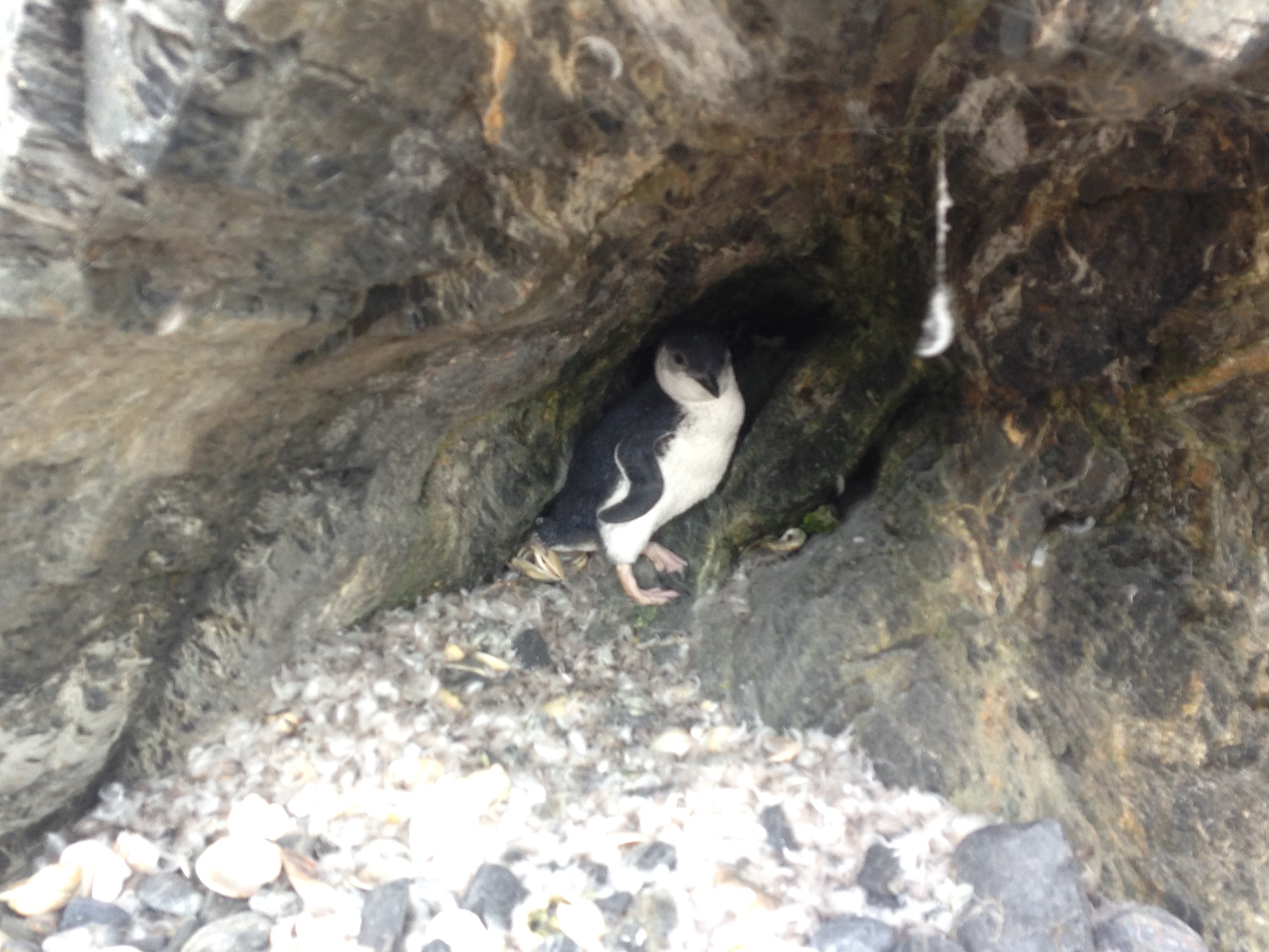
Another highlight of the weekend was seeing a poor lost lonesome penguin nesting in a tiny sea cave.

The weekend was a great chance to test out a new little toy I picked up a few months ago from Goal Zero. Their USB powered LED “Luna”. A really versatile little light that was perfect for lighting the whole tent.


Update from refund from @kathmandu_live

20140102-080240.jpg

Following my post yesterday  the online customer service team from Kathmandu contacted me to offer some assistance. After a few phone calls they asked for some photos of the issue. Provided. Then another call. Essentially ‘while the designers can't find a fault, you are obviously not happy, so we are going to refund you’. Which was what I wanted the store to say.

So it appears we are now at a conclusion.


Trying to get my refund for the LANSAN Tent from @Kathmandu_Live

20140102-080240.jpg

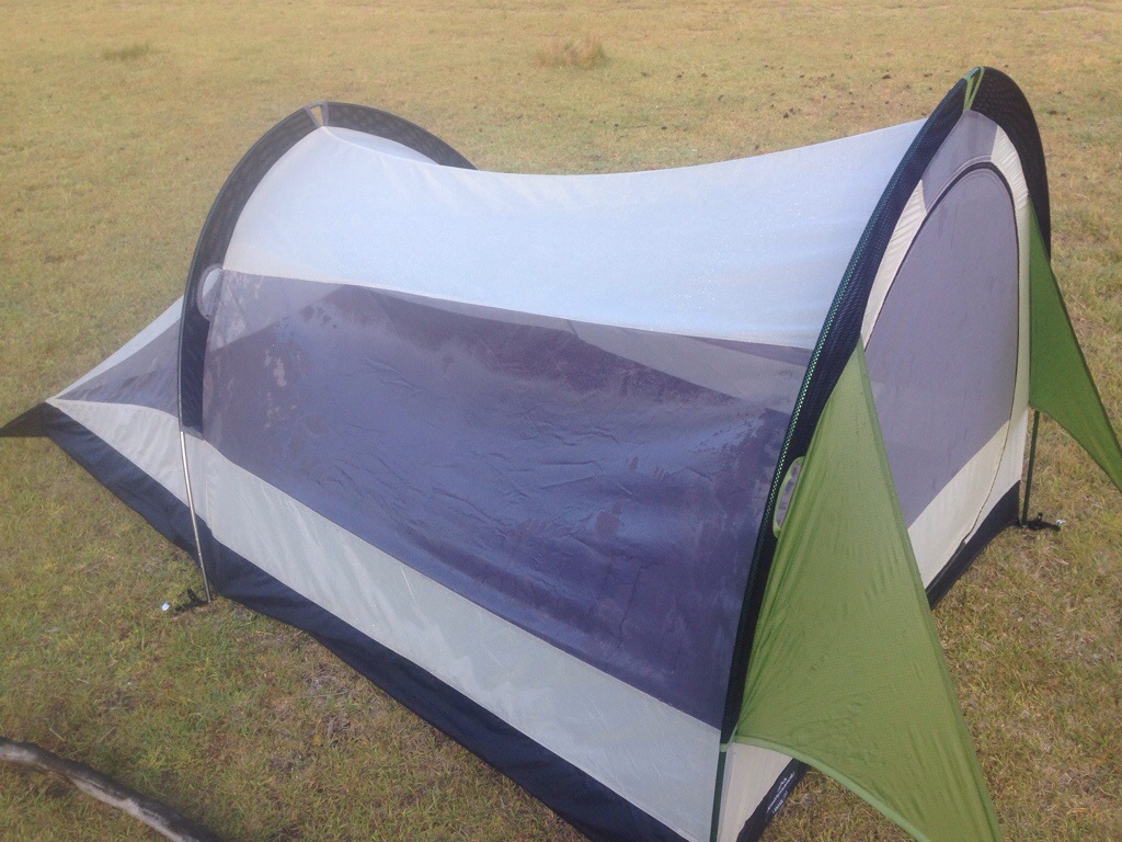
As I said in my previous posts and videos I had massive issues with the Kathmandu Lansan Light 2p tent

Not least the massive leak we experienced with just a medium dew  (see below) that is common in Australia with hot days and cool nights.

Basically I wanted a refund.  I took the tent back to the store I purchased it from - Canberra Centre - With a digital scan of my receipt plus they could see on my loyalty card ‘SUMIT CARD’ that I purchased it only days before. Instead of processing the refund on the spot for not being ‘fit for purpose” i.e. tent = shelter = dry. In my case tent = wet = not dry, they said they wanted to ‘test the issues’ HMMM ok cool sure keep the tent. We are now nearly 2 weeks later, they didn't call me, I called them to check on progress. I have been informed they have sent it for ‘testing’ and it passed the waterproof testing and they could find no fault. 

The fly not meeting the inner ( the issue I talk about in the videos) apparently is ‘normal’ and all other tents in stock are exactly they same. The store does not have email or an external connection that I can send the picture and videos too but they have asked I bring the photos in. Following this call, I received another from the same store saying can I do with with some urgency as they want to send the images off to the ‘Product design team located in NZ’. Strange but will just be giving them this link, and the link to the after report linked above.

Pretty poor to not refund on the spot, but will keep fighting.


After Action Report - Horse Gully Hut hike and overnight- December 2013

20140103-131608.jpg

Location

Located approx 50km south of Tuggernong ACT in the Namadgi National Park in the Naas Valley.Getting thereFrom Point Hutt Crossing and through the township of Tharwa, keep heading south. Road is tarred until approx 15km north of the turn off to Mt Clear Campground. Trailhead is located adjacent to the Mt Clear Campground.

Gear

  • Burghaus 65lt Biolite pack, purchased Dec 2013, $115AUD on massive write down
  • Kathmandu Lansan 2p 3 season hiking tent (1.85kgs) $249aud also on massive markdown from $699
  • Camelbak 3l Milspec bladder with insulated hose
  • MSR Pocket Rocket butane burning stove
  • Kookaburra Outdoors light mesh fly face vail

Technology

  • Delorme InReach 2way Satellite tracker and communicator
  • Goal Zero Guide 10+ solar panel and 4xAA battery pack
  • Magellan eXplorist 110 GPS
  • iPhone 5 64gig with Lifeproof case

What Worked

The real stand out of the trip would have to be the location. The track was well sign posted along with being well looked after. Bother huts were well appointed for their age (dating from 1940s). Both huts along the trail had a full and clear corrugated iron rain water tank along with brick fireplace. The addition of the fly mesh face veils really lowered my frustration level at flies trying to get into my mouth and climb on my face as I was sweating, while walking around.

What didn’t work

  1. The Tent- firstly it was very small, even with the tiny weight I did not expect to be sleeping shoulder to shoulder. We are both not very tall ( Frankie is 180cm and I am 172) and there was not much room below us feet wise that was not being used. Additionally on the left hand side at the head end, the fly did not come down low enough to cover the mesh body by about 4-5cm. There was no rain the night we camped but there was a heavy dew that is common with warm days and cool nights. From the location of the moisture I can tell it was not condensation. Moisture was coming through into the mesh body from contact with the fly exterior. Every guyline was tight along with every peg point – the tent could not have been tighter. Simply it is going back to Kathmandu.
  2. The lighter – CountyComm Tiny Split Pea Lighter. It is part of my carry every day kit as my emergency firelighter. No matter how many times I fill it with zippo fluid it is dry when I need it – BINNED.
  3. Delorme InReach – As a tracker it is brilliant, as a message sender it is ok, as a message receiver – CRAP. As per the video – there was some dark dark clouds hanging around so I messaged my friend back in Canberra to see on the weather radar if some nasty weather had blown in. He received my message within minutes and replied in a short period of time – yet still by the next morning nothing was received. Additionally while the tracker has ben running on the same set of batteries for over a year, the warning from full battery to shutting down is a tiny red flashing light with less than an hours warning – hard to know you are no longer tracking with only an hours notice.
  4. The pack – the light padding on the shoulder straps is a little annoying as is the velcro ripping sound when you are putting the pack on while full as the height adjustable rotating hip belt sorts its self out.

 What I wish I knew, that I didn’t know before

The water – the huts have a great supply of clean fresh water. While it is always good to plan to carry extra, knowing there was some available would have mean the 4lt (3 in the Camelbak bladder and 1 in reserve Naglene bottle) could have been adjusted.When we got back to the house I weighted my pack after eating all the food and drinking most of the water – 12kgs. Too heavy so will start shaving weight.

Conculusion

Before my overseas readers start commenting that a tarp would be mush lighter to carry – while you are correct, it offers to protection from the army of animals, reptiles or insects that Australia is home to that if they don’t kill you, they will not make your day happy


Horse Gully & Naas Valley, Namadgi National Park - ACT ( Day 1, plus gear reviews)

Screen-Shot-2013-12-25-at-6.28.29-pm.png

Well we are home now, after out overnight camping adventure in the Naas Valley and walking up to the Horse Gully Hut. Overall it was roughly 20kms round trip.


I weighted my pack when we got home and it came in at 10.7kgs with 900g still in my water bladder.. I can assure you that is rather a load when you are climbing up hill and down dale.


Have a watch and tell me what you think.


http://youtu.be/6Jc6J-_kI7I


My Christmas Gift to Me: Kathmandu Lansan Light hiking tent and rediscovering the bush capital #CBR

Since being back from Myanmar and Darwin I have been looking to do more bushwalking and day hikes. I have also discovered the Namadgi National Park. I know it sounds silly to say I have just discovered it after living in the ACT for nearly 10 years, however I am glad I have. Namadgi sits about 40kms to the south of what most people think of as the bottom of Canberra, Tuggernong. Namadgi actually takes up around 46% of the area of the Australian Capital Territory.

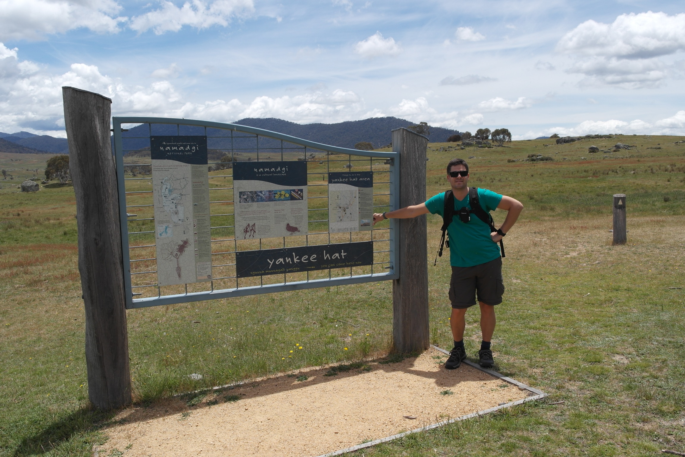
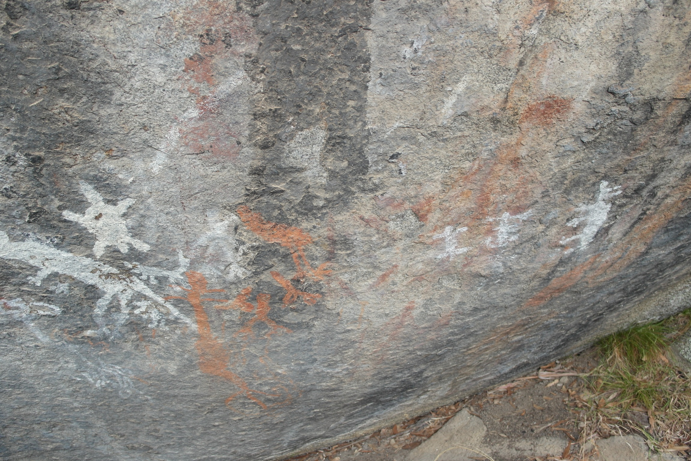
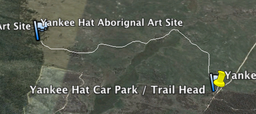
A few weekends ago we stopped off at the Namadgi National Park visitors centre and collected maps as well as talked to the staff there as I was looking for a gentle part day walk to get my partner used to carrying a pack. Previously he was not even keen to carry a tiny pack with a water bottle and camera in it. The staff suggested the Yankee Hat walk to the only Aboriginal Rock Art located within the ACT, being only 7kms round trip.

Following on from that trip, I have decided come hell or high water I want to start walking and at least doing overnights, if my partner can not or will not hack it, I will go alone. To this end I started hunting around for a light ( read able to be carried without doing my back) tent. I was bidding on a Hubba Hubba V6 on eBay for ONLY $250 which is hundreds of dollars off, sadly I missed out. Fortunately the even lighter but slightly less versatile Kathmandu Lansan Light  came in at $250 ( down from $699) during the Christmas Sales and weighted in at sub 2kgs.

Screen Shot 2013-12-25 at 6.28.29 pm


I also managed to pick up a Mountain Designs Tasman 40 pack on sale for $65. After packing my new tent, my sleeping bag and my ground pad, there is not much room left for anything else.. I really should have got a 50L if I want to go solo.


UPDATE:

Regarding the Tent: Read here